
Covington Neighbor Record Sources
Public systems describe parcels and civic roles more often than households. Kenton GIS shows geometry and adjoining lots. PVA attaches assessment fields and an owner string. A reverse directory can show a dated householder. City and neighborhood pages identify public contacts, boundaries, and meeting places. Each source answers a narrow block question.
| Source | What It Shows About a Block | Access |
|---|---|---|
| Kenton GIS / LINK-GIS | Parcel outlines, adjacent PIDNs, roads, selected layers | Public map; not a survey |
| Kenton PVA | Parcel address, assessed owner, deed pointer, lot | Public search |
| Kentucky voter systems | Individual status or authorized data fields | Identity inputs or restricted order |
| City and CNC pages | Public contacts, meetings, local boundary terms | Public pages; not household rosters |
| Reverse directories | Dated householders and historic block form | Kenton Library |
An assessed owner may be an entity, estate, trust, or person who lives elsewhere. A map cannot supply renters or all household members. Use the owner field as a deed lead, not proof of daily presence.
Map a Covington Neighbor Block
Normalize one address through USPS and Kenton PVA. Open the same PIDN on the land map, then inspect only parcels that share a line or face the same short block. GIS is dynamic and provided as-is. It supports orientation, not a survey or title decision.
- Search the exact address in PVA and copy its PIDN.
- Open it in Kenton GIS or LINK-GIS and note touching parcels.
- Open each relevant parcel card. Record PIDN, address, owner string, lot, and deed pointer.
- Compare postal, parcel, city, and neighborhood boundaries.
For every parcel along a named road, use the Covington street directory. This neighbor method stays limited to the immediate block.
Covington Neighborhood Associations
The City of Covington identifies 19 active associations. The Covington Neighborhood Collaborative supplies names and public contacts. Coverage is voluntary and does not create a city boundary or list every resident.
| Association lead | Block context | Caution |
|---|---|---|
| Westside | Pike, I-75, 15th, and Madison boundary wording | Association line, not parcel title |
| Peaselburg | Fireman's Hall, park, and 41014 clues | Public place, not member roll |
| Latonia | Southern Covington and 41015 context | ZIP and neighborhood lines differ |
| MainStrasse / Mutter Gottes | Historic district and permit terms | Zone does not identify occupants |
The official neighborhood page shows the public-facing network.
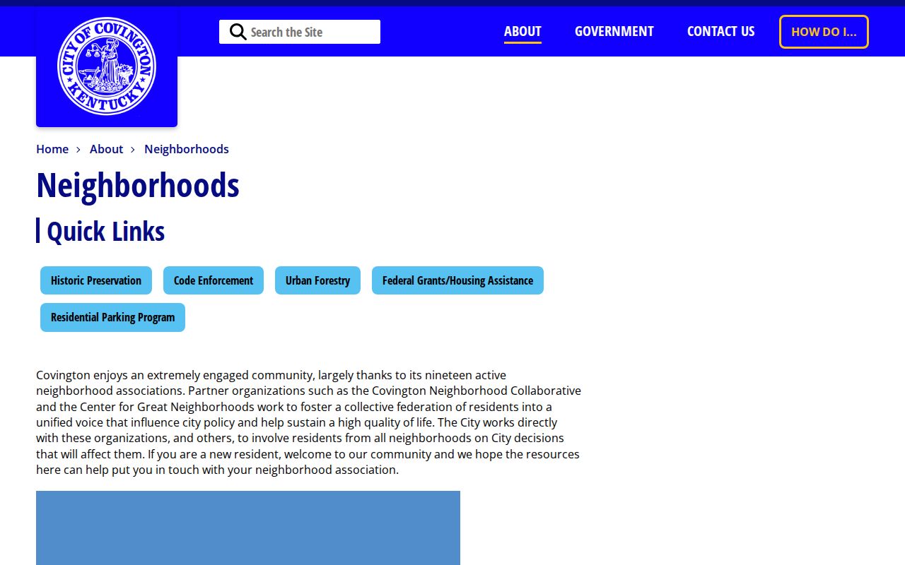
Use these names to search city minutes, permits, historic files, and newspapers, not private rosters.
The Covington Neighborhood Collaborative roster supplies another public view.
Its public contacts help locate civic records, but do not identify all households.
Covington Historic Neighbor Zones
Covington reports 17 National Register Historic Districts and seven local HPO zones: MainStrasse, Seminary Square, Pike Street, Downtown Commercial, Mutter Gottes, Licking Riverside, and Ohio Riverside. A zone can explain design-review or permit records. It does not establish an owner or occupant.
Sanborn maps and the 1877 atlas add old block form. Compare them with the present PIDN when a lot was split, joined, or renumbered. A historical directory can add a dated householder, but that past name is not a current Covington neighbor.
The 1931-32 Covington reverse directory is a strong address-first source. It lets a reader move from street and house number to a listed householder, then to the alphabetical entry. Pair the printed address with a Sanborn or atlas footprint before assuming it matches the modern parcel. Publication lag, vacant lots, institutions, boarders, and changed numbers can alter what appears. Record the edition and page so another researcher can repeat the check.
Historic district context can create more public records around a block. MainStrasse and riverfront commercial areas may appear in ordinances, storefront photographs, Sanborn labels, news advertisements, design review, permits, and deeds. Those sources describe different roles and dates. A permit applicant or business operator may not live there, and a photograph caption is only a lead until another source confirms place and time.
Covington Neighbor Boundary Stack
A block may sit inside several shapes at once: a parcel, city, ZIP, Census ZCTA, neighborhood association, precinct, and historic district. Those lines were made for different purposes. Save the layer name and date whenever a boundary affects the answer. A Covington postal label can cross a nearby municipal line, while an association can use a local boundary that does not follow parcels. ZIP 41015 is a useful Latonia clue, but it cannot define every Latonia block. ZIP 41016 can carry Covington, Bromley, or Ludlow postal descriptions.
The Ohio and Licking rivers, hills, rail corridors, and old commercial streets also shape how Covington neighbors describe place. MainStrasse, Mutter Gottes, Peaselburg, Westside, and Licking Riverside are strong search terms in public records, but informal usage can differ. Confirm a legal city question through parcel or municipal GIS. Confirm a postal question through USPS. Use CNC and city neighborhood pages for civic terminology.
A good block note records each label without forcing agreement. Postal city, incorporated city, association, HPO zone, and parcel location can all be accurate at the same time. Their mismatch is a finding, not a flaw.
For family history, save the local label exactly as printed and search its date range. For current civic work, use the latest city and parcel layers. This keeps a historic ward, modern association, and present postal route from being merged into one false boundary. It also explains why two official records can describe the same Covington block with different place names.
Covington Block Civic Records
City code, planning, permit, and open-data records may show a case or public action tied to an address. They name applicants, owners, officials, or case subjects in defined roles. Search after the parcel and date range are known.
The CovData hub provides city datasets and maps.
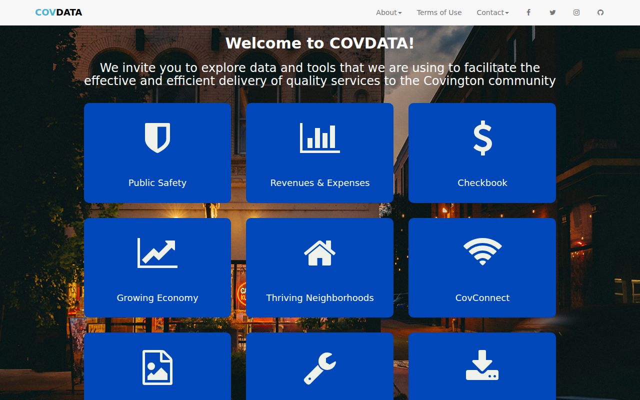
Keep the dataset title, update date, field definition, and disclaimer.
The code enforcement page shows the address-based route.
A complaint or case is not proof that a named person lives at the site.
The linked IWorQ portal is the city's dynamic request route.
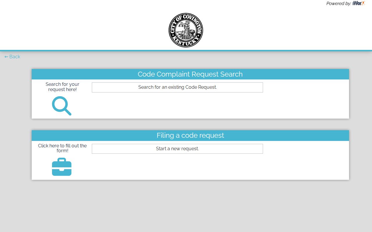
Use it only for a real issue, not as a resident search.
PDS One Stop Shop covers planning, zoning, and building services.
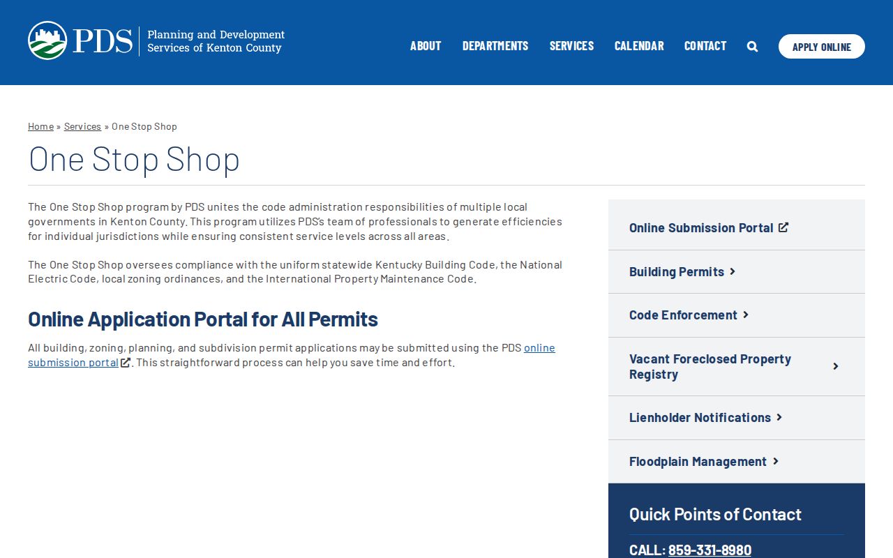
Jurisdiction and portal visibility vary, so route missing records to the custodian.
Covington's City Clerk keeps permanent minutes, ordinances, resolutions, contracts, and other city archives. When a portal does not expose a needed address record, the city open-records route accepts a specific written request by its listed channels and states an initial response period of five business days. Describe the address, department, record type, and date range. A request for a named permit, ordinance, or case series is more precise than a broad request for everyone on a block.
PDS handles building, zoning, code, planning, GIS, infrastructure, and related work across Kenton County jurisdictions. Its dynamic portal does not guarantee that every permit is publicly searchable. Confirm jurisdiction first, then ask the responsible custodian about unavailable records. Keep the case number, PIDN, address, document date, and status exactly as shown. Portal output can contain errors, so compare unusual dates with the source document.
Neighborhood context can also begin with a public meeting rather than a database. Covington's city page reports 19 active neighborhood associations, while the Covington Neighborhood Collaborative published a 2026 roster of 18 member groups. That difference is a reminder to record the source date and membership basis. An association boundary, meeting place, or public officer can guide a civic question, but no association page should be read as a full roster of people on the block.
For a focused request, carry the exact address, PIDN, date range, department, and type of action from the map into the city form. Police, fire, EMS, code, permit, and planning records follow separate custody and privacy rules even when they concern the same site. Covington's City Clerk route covers permanent minutes, ordinances, resolutions, contracts, and archival material. It does not merge those departmental files into one neighbor record.
Covington Neighbor Source Choices
Official rolls keep a clear custodian, date, and role. Commercial neighbor tools may combine stale data without showing how names were joined. The official route is slower, yet it lets readers separate land, people, roles, and time.
| Source | Strength | Limit |
|---|---|---|
| Parcel and GIS | PIDN and mapped layers | Ownership is not occupancy |
| Civic and voter routes | Defined fields and rules | Protected or purpose-specific |
| Commercial category | Quick combined display | Unclear dates, joins, and corrections |
Privacy for Covington Neighbors
Public parcel records omit many occupants, and Kentucky's identity-sensitive voter lookup is not a block roster. Safe at Home can substitute an address and mask a participant's actual voter address. Never combine voter, parcel, directory, or online clues to reverse-engineer a protected location.
Utility, medical, financial, SSN, driver-license, and other protected fields do not belong in a neighbor search. A missing result may reflect privacy, a login gate, or stale data. It is not proof about the person.
Kentucky voter access illustrates the limit. The public Voter Information Center requires a legal first name, legal last name, birth date, and optional last four digits of an SSN. It is designed for an individual registration check, not a walk down a block. Bulk data follows the separate SBE-84 process with eligibility, certification, scope, format, fees, and protected-address rules. Access to one field is not permission to republish a household list.
Lawful use. Learn about Covington neighbors for civic and personal purposes. Never use public records to watch, intimidate, stalk, harass, or harm anyone.