
Walk a Covington Street Directory
A street directory search should keep each address relationship separate. The Kenton PVA identifies an assessed owner and parcel. GIS supplies geometry and nearby parcels. The County Clerk holds the deed. Printed reverse directories can name an adult householder at the time of publication. None is a universal list of occupants, but together they build a clear and dated address trail.
Record the address exactly as each Covington source prints it. Keep the street suffix, unit, mailing address, parcel address, neighborhood label, and date in separate fields. Then note whether the name is an owner, taxpayer, grantor, grantee, applicant, or historical householder. That role-based method handles name collisions and exposes stale records before they turn into a false claim about who lives on the street.
- Normalize the house number, street name, and suffix, then search the Kenton PVA by address.
- Save the PIDN and open the same parcel in LINK-GIS or the Land Records Map.
- Note adjacent PIDNs and visible layers without guessing who occupies any building.
- Use the PVA deed book and page to locate the County Clerk instrument.
- Check the 1931-32 reverse directory or another dated edition for an earlier householder.
Covington Address Search Fields
The Kenton PVA property lookup exposes more than a single street box. The same Covington address can be recovered from a PIDN, owner name, recorded deed reference, or subdivision and lot. Keep punctuation in the PIDN, and test spelling or suffix variants when a street search fails.
| PVA input | Format | Street use |
|---|---|---|
| PIDN | Exact parcel ID | Strongest cross-system key |
| Address | Number; Street Name | First search from a house |
| Owner | Last Name First Name | Assessment name search |
| Deed | Book; Page | Recorded instrument pointer |
| Subdivision | Name; Section; Lot | Plat context |
The result list shows PIDN, parcel address, and parcel owner. The form has no simple ZIP filter. A parcel card is a dated assessment record, not proof of current occupancy.
Map Covington Streets with LINK-GIS
The public LINK-GIS viewer advertises address, PIDN, and owner searches. Its layers can add parcels, roads, political boundaries, zoning, buildings, topography, rail, and utility context. Search one verified parcel first, then capture the map date, active layers, visible disclaimer, and the PIDNs touching it.
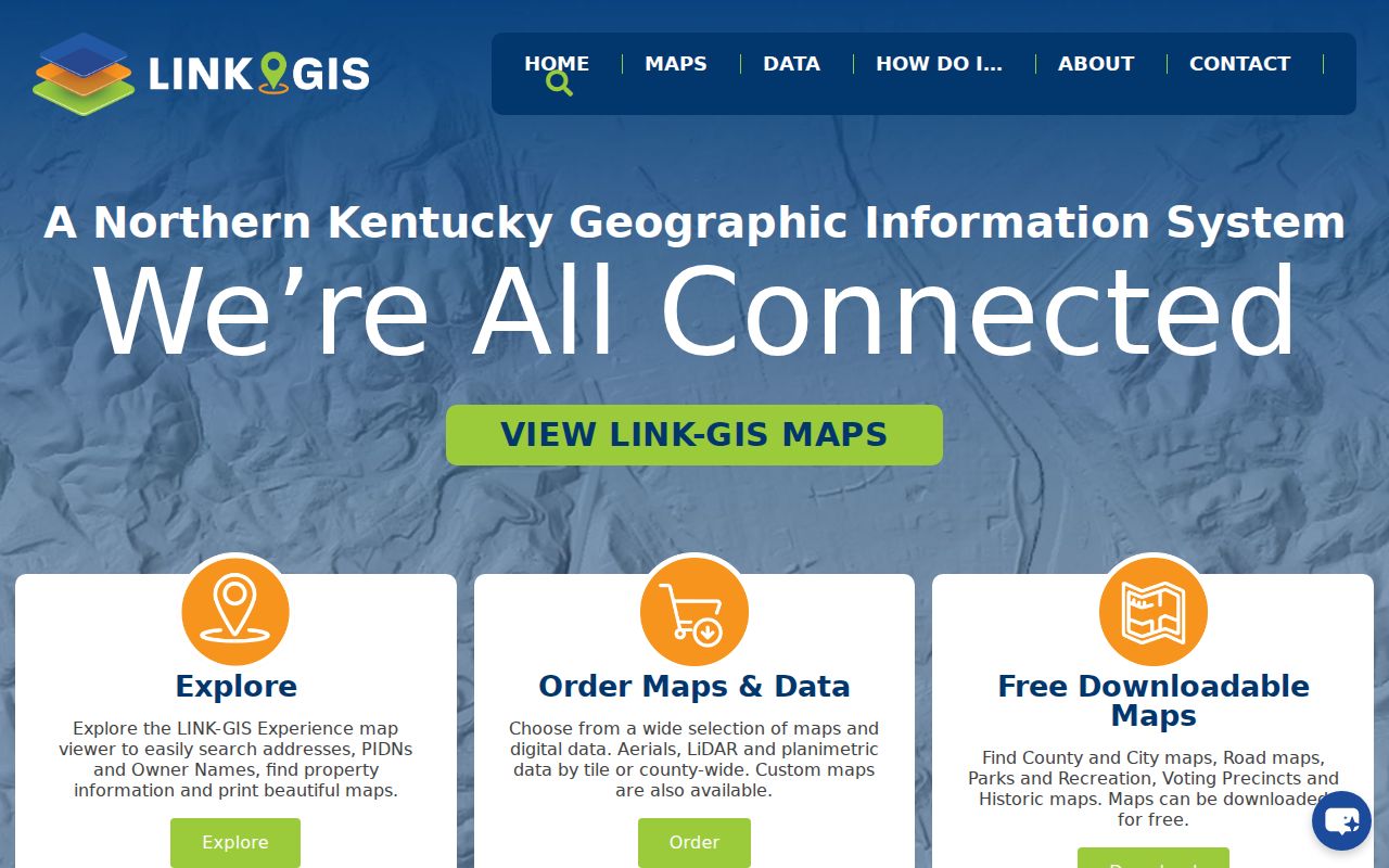
The manifest image shows the LINK-GIS entry used for Covington street directory work.
The map helps answer which parcels meet along the block. It cannot settle a legal boundary, prove ownership by itself, or identify who is inside a house.
- Parcel
- A mapped tract tied to a county identification number.
- Situs address
- The physical location used for the parcel, which may differ from the tax mailing address.
- Plat
- A recorded drawing of lots, lines, and subdivisions.
- Criss-cross directory
- An address-first directory arranged by street and number.
Covington Deeds Along a Street
Once the PVA supplies a deed book and page, use the Kenton County Clerk to inspect the instrument. A grantor gives or transfers an interest; a grantee receives it. Capture both names, instrument type, recording date, PIDN, book and page, and courthouse code. The code is C for Covington and I for Independence.
Official Records Books start online on May 1, 1999, but older series have different coverage. The paid web index is one channel. The public Record Room at 1840 Simon Kenton Way is the practical alternative for pre-1999 or series-specific material. A deed may involve an estate, trust, company, or non-occupying owner, so it records title activity rather than a complete household.
Covington Street Tax Checks
The Kenton County Sheriff and KCOR tax-bill inquiry add billing context to a parcel. The route uses a free-access menu, CAPTCHA, and Tax Bill Inquiry. Searches can use owner, location, PIDN, bill, or account fields. Read the displayed owner with its tax year because the roll reflects the owner as of January 1, not a day-by-day occupancy statement.
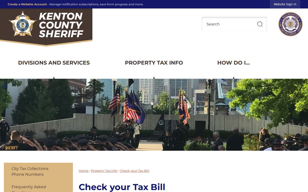
The captured tax-bill guidance shows the correct official route.
Match its PIDN back to the PVA parcel instead of relying only on a similar owner or street string.
Note: Assessment, title, tax billing, and residence are four different relationships, even when the same name appears in each source.
Covington Street Directory Records
Several Covington records accept an address or parcel key. Their fields answer different questions. The coverage table separates current ownership, map context, transfers, billing, and municipal action so one result is not stretched beyond its purpose.
| Record Set | Keeper | What It Shows | Access |
|---|---|---|---|
| Property assessment | Kenton PVA | PIDN, address, assessed owner, deed pointer | Free portal |
| Parcel map | Kenton GIS / LINK-GIS | Parcel geometry, roads, layers, adjacent parcels | Free viewer |
| Recorded deeds | Kenton County Clerk | Grantor, grantee, instrument, book/page | Paid portal or Record Room |
| Tax bill | Kenton Sheriff / KCOR | Tax-year owner and parcel billing | Free inquiry with CAPTCHA |
| Permit and code files | PDS / Covington | Application, case, work, or nuisance role | Portal or focused request |
The PIDN ties the strongest modern sources together. When a permit system lacks a public search, use the exact address, PIDN, department, record type, and date range in a city or county request. Do not ask an office to create an address history that it does not keep.
Covington Permits by Address
Planning and Development Services accepts building, zoning, HVAC, electrical, planning, and subdivision work through its One Stop Shop. The current application wizard requires an account and did not expose a public result search during research. That makes a focused records request, not an invented portal search, the proper fallback.
Covington code enforcement takes a property address, issue description, and date and time noticed through IWorQ, phone, or email. COVDATA can supply case-data leads. A permit applicant or code subject is a named role in a municipal file and may not own or occupy the parcel.
Build the request around the address record already found. Include the standardized street address, PIDN, permit or case type, department, and a narrow date range. Ask for the application, decision, plan, inspection, final order, or lien record by name. If the property lies in a historic district, add the historic-review file to the list. Covington has seven HPO zones, so a parcel can carry both ordinary permit records and preservation review. Keep the applicant, contractor, title owner, complainant, and resident roles separate.
One inspected PDS lien page displayed a final date in the year 2121. That clear data anomaly is a useful warning: compare any portal date with the source order, nearby fields, and capture date before repeating it. A case number, PIDN, status, order date, and source image should agree before the date enters a Covington street directory ledger.
Reverse Covington Street Directory
Kenton County Public Library holds Covington, Newport, and vicinity directories for 1834, 1839-40, and 1856 forward. The 1931-32 volume has a reverse street and householder guide. It can turn a normalized street and number into a printed adult or householder name, then send the researcher to the alphabetical entry.
Start with an atlas or Sanborn map if the old number is uncertain. Record the edition, page, exact printed street, number, name, and any householder marker. Changes in numbering, street names, enumeration, vacant lots, and publication lag can break a naive search. The historical collections themselves are covered on the Covington city directory.
Use both halves of the volume. The street section moves from street to house number and listed adult. The alphabetical section moves from a name back to an address and may supply spouse or business details. Compare the two entries, then record the exact abbreviation rather than expanding it from memory. A boarder, institution, vacant listing, or business has a different meaning from a householder.
Covington's physical growth complicates the printed trail. West Covington entered the city in 1916, and street or ward labels may change across annexation and publication years. The Ohio and Licking rivers, hills, rail corridors, Latonia, Westside, MainStrasse, and older parish areas also shape how an address was described. Use the edition's own place terms first, then crosswalk them to a current parcel only after a map confirms the match.
Covington Streets Across Map Years
The local House Stories sequence moves through the 1877 atlas and Sanborn maps from 1886, 1894, 1909, 1949, and 1954 before joining deeds, wills, directories, and assessment files. This is the street directory's strongest historical check because it tests whether today's number and footprint existed in the same form.
A Sanborn map describes a structure, use, and block at its publication date. It does not name every occupant. Pair it with a dated reverse directory, deed, assessment, newspaper, or church source. Covington's 1916 West Covington annexation and later neighborhood growth also mean an older street may sit under a different ward, city, or county description.
Covington ZIP Street Mismatches
A Covington mailing label is a postal clue, not proof of city limits. The city's primary ZIPs are 41011, 41014, and 41015. ZIP 41012 serves PO boxes, which have no street parcel to map. Postal overlaps at 41016 and 41017 require an exact-address check against USPS and municipal parcel boundaries.
Resolve a conflict in order: standardize the address with USPS, locate its PIDN in the PVA, inspect the city boundary in GIS, and check the municipal custodian for permits or taxes. The PVA has no simple ZIP filter, so do not turn a postal code into a street directory substitute. A 41015 result may use Latonia as a postal or neighborhood clue. A 41017 mailing address can still require parcel-level review. Preserve each system's answer in its own field instead of choosing the label that looks most familiar.
Note: A ZIP+4 marks a delivery segment, box, or route and never proves a named person's residence at a Covington parcel.
Limits of Covington Street Records
A Covington street directory cannot provide a complete household. PVA and deeds focus on ownership. GIS maps parcels rather than people. Tax records describe billing at a set date. Directories reflect their publisher's survey and can miss people or lag behind a move. Voter information requires identity fields, follows Kentucky access rules, and may shield a Safe at Home participant's address.
Commercial neighbor tools may merge stale listings and similar names without showing the custodian, role, or capture date. Prefer official records and archival editions because their scope can be checked. Sensitive identifiers, protected addresses, medical details, sealed matters, and private association rosters do not belong in an address ledger.
Some gaps call for another channel. The paid Clerk portal has an in-person Record Room alternative. A dynamic permit form may require a focused request to the agency holding the file. Library staff can handle a narrow directory request when travel is not possible, with staff-time fees, an item limit, and an allowance of up to thirty days. State and church archives serve older series under their own rules. Document the gap and route rather than treating silence as a negative result.
Lawful use. Use Covington street and parcel records only for lawful personal research. Never use an address trail to stalk, harass, threaten, or expose someone.